Incredibly Rare 1890 Terrestrial Globe by H. Schedler with Dated Cartouche


Incredibly Rare 1890 Terrestrial Globe by H. Schedler with Dated Cartouche
A fine 127 year old artifact sharing the history of Empires as they conquered the world. An ever so delicately engraved map compliments the elegant tripod mount. The map celebrates the newest achievements of human advancements as it highlights the recent underwater cable lines connecting the American and European Continent for instant communication (morse code).Most of all , this sphere offers an actual print date on the map. A rarity among Globe makers not just of the past, but also the present. Enjoy viewing a piece of art while discovering our world of 1890.
More Information
1890 Schedler’s terrestrial globe with dated cartouche!
This specific model offers a delicately engraved map, identifying the world as it was over 127 years ago. Some of the political displays slightly contradict each other although this artifact is clearly dated 1890 on the cartouche. It is rare to find a printed date as most makers chose not to identify the year so they would not need to make changes to the gores every year.
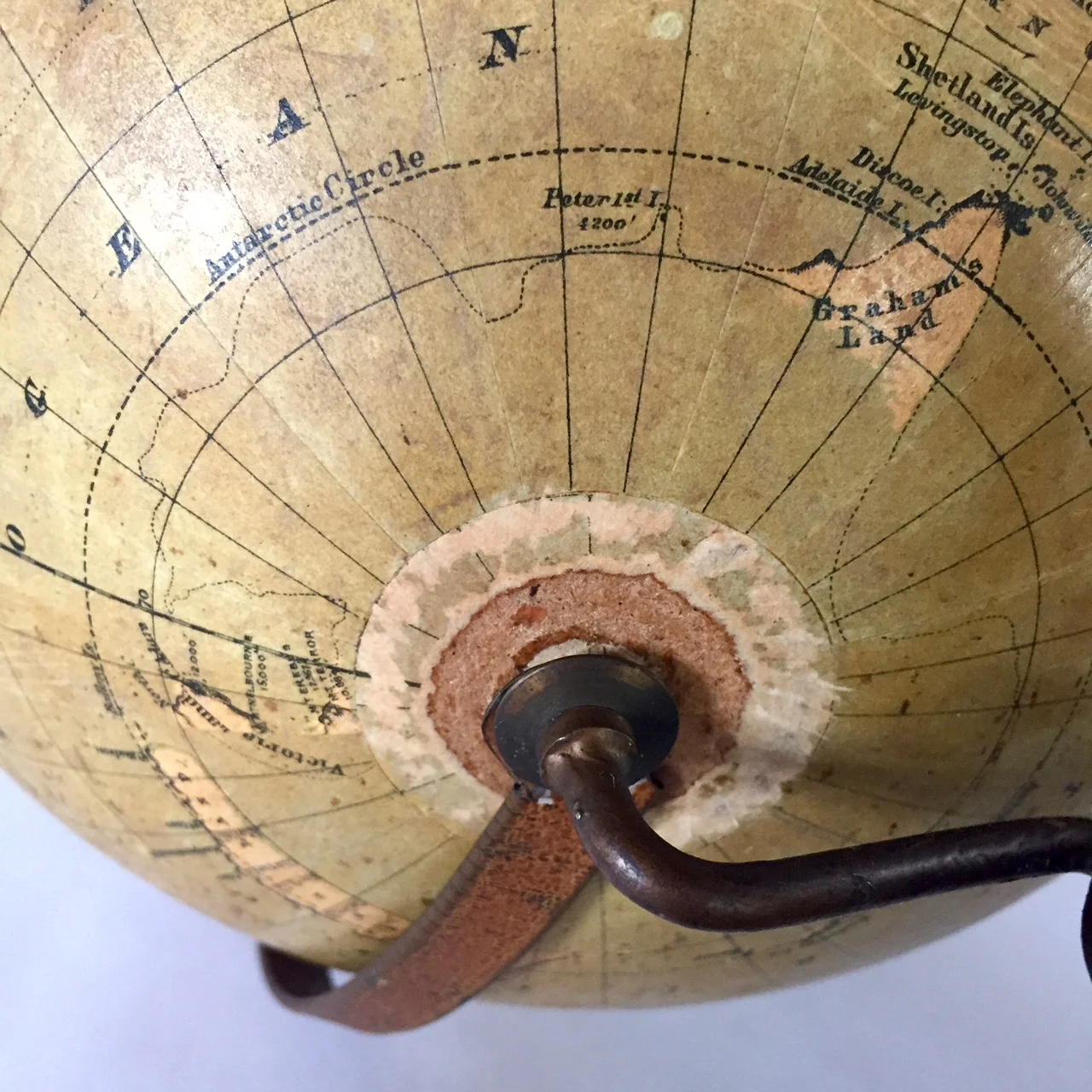
This early American masterpiece shows the era of Great Empires dominating the world. The Austro Hungarian Empire is visible, although Budapesht is still shown as Pesht. Additional Empires include Russia, China, Germany and the Ottoman Empire. Much is still left for discovery but the wonders of new technology are shown, including the first underwater telegraph cable by Maury, connecting North America and Europe for its first instant communication (1865-68). Also mentioned is a French cable. The legend of the map also displays “Lines of regular Steam Communication around the world” – which refers to postal shipping, steamship routes across the Atlantic, and underwater telegraph lines.
A young United States shows two divided Dakotas, but without the North or South designation. Some other current states are not yet present including Oklahoma, and Hawaii is still referred to as the Sandwich Islands. Further south, Antarctica has yet to be fully explored and is only shown by a dotted outline.
A fine piece for the historian, ensuring hours of discovery of the past.
Description:
Diameter of the orb is 9 inches with a total height of about 17 inches. The orb consists of pasteboard and plaster, covered with 12 individual, hand applied paper gores representing the map. Mounted onto a slightly primitive, yet still elegant tripod base. The half meridian that is attached is possibly not original as I can not find documentation of this model showing such detail. (To me, the meridian looks like it was made in the 1930s-1940s but I am leaving it on just in case) Overall well preserved for its age, there is some rubbing and soiling to the map in addition to a few missing pieces of map. The beautiful patina is now highlighted after a few rounds of professional cleaning. The base is in excellent condition. Please see photos for details.
Secure, domestic shipping will be $25.00. Please inquire for international shipping.
$995 — Item #: 1217SCHED90